Straight from the console
The fence register, live.
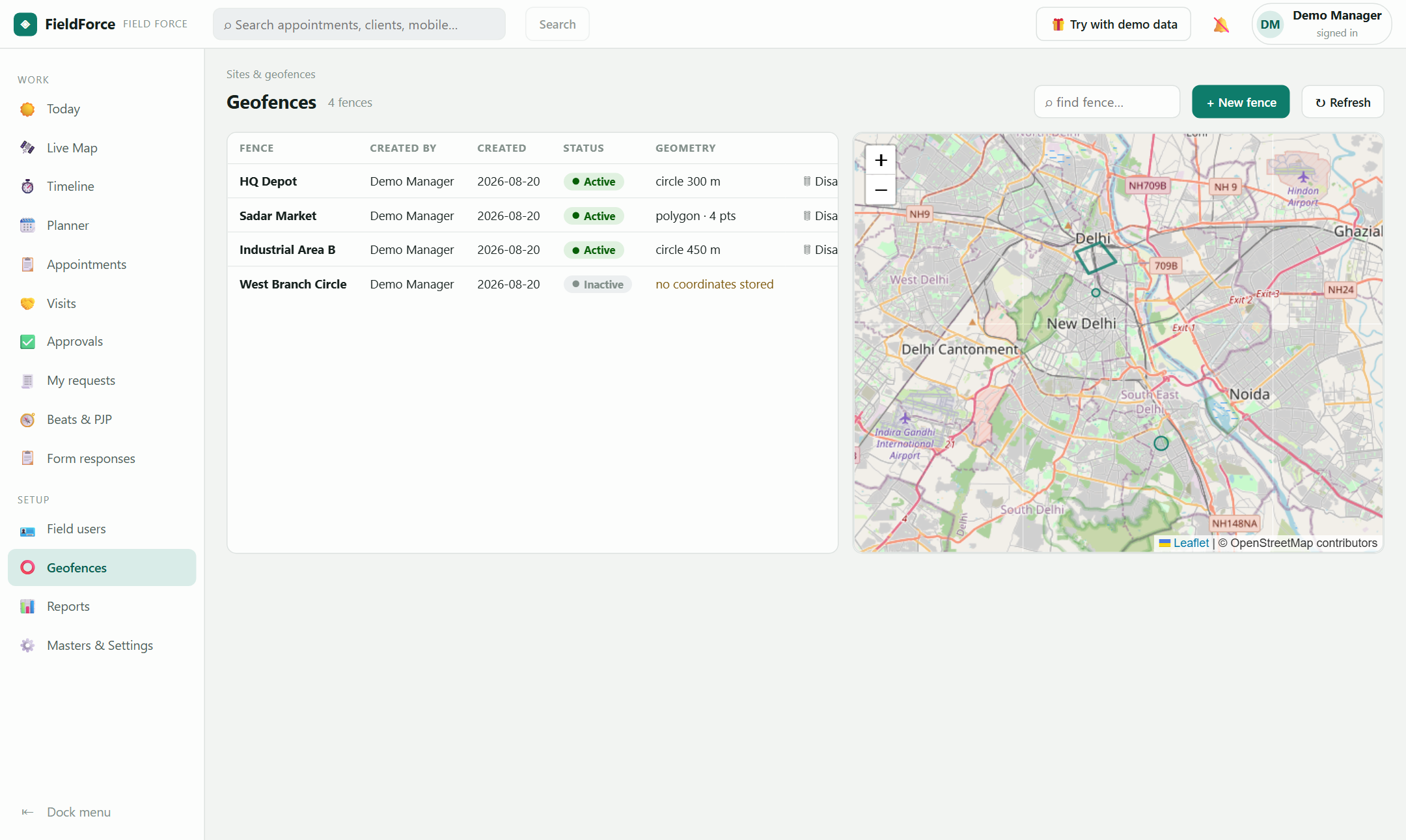
📸 Real console — fences with shapes and status, beside the map that draws them
A fence is a named shape — a circle around a depot or a drawn polygon around a market. Territories group fences and power sign-in restriction and beat containment.
Circles for depots and offices; click-drawn polygons for markets, industrial areas and irregular patches. Search the list, click a fence to see it alone on the map, disable what's obsolete — the mobile app follows instantly.
| Fence | Shape | Status |
|---|---|---|
| HQ Depot | circle · 200 m | active |
| Sadar Market | polygon · 6 pts | active |
| Old Warehouse | circle · 350 m | disabled |
| Industrial Area B | polygon · 9 pts | active |
Group fences into territories, assign them to executives and beats, and the same lines then govern where sign-in counts, which sites belong to whose round, and what "inside" means for the roaming radar.
Roaming teams get a territory nobody had to draw: the learned 30-day working area per executive, computed from their own history — alerts only when someone leaves their own usual patch.
As precise as you draw them — polygons follow your clicks vertex by vertex, circles take any radius. Check-in rules additionally carry their own per-type radius.
Territories attach to attendance rules, beats and radars — an executive's reach is whatever those grant, including multiple areas.
Sign in with your suite account — or explore with the built-in demo world.